Snow is formed in clouds when water vapor freezes directly into ice crystals. This requires cold air (at or below 0 °C/32 °F) and enough moisture. In fact, snow crystal growth is most efficient in a “dendritic growth zone” at roughly –12 °C to –18 °C (10 °F to 0 °F), where complex six-sided flakes flourish. In extremely cold clouds (below about –38 °C/–36 °F), pure water droplets freeze spontaneously. In real clouds, however, microscopic particles (dust, pollen, or biological “ice-nucleating” particles) allow ice to form at much warmer subfreezing temperatures. Once a tiny ice crystal is present, it grows by collecting water vapor from the humid air around it, eventually falling as snow.
Ground and Surface Conditions for Snowfall
Even if clouds generate snowflakes, the temperature profile below matters. Ideally, air near the ground is at or below 0 °C (32 °F) so flakes don’t melt before reaching us. Weather experts note that for snow (rather than rain) to reach the surface, the entire atmospheric column usually needs to stay at or below freezing. If a warm layer rises above about +1 °C (34 °F), falling flakes will tend to melt into rain.
However, snow can still fall with a slightly warm surface if certain conditions are met. If the warm layer is very shallow or the air is quite dry, falling snowflakes partially melt and then evaporatively cool their surroundings. Each flake that evaporates a bit absorbs heat and cools the air around it. This “wet-bulb” cooling can lower the local air temperature by a few degrees, slowing melting. In practice, snow can reach the ground even when surface air is a couple degrees above freezing, as long as the wet-bulb temperature remains at or below 0 °C. As a rule of thumb, once the surface air warms above about +5 °C (41 °F) without cooling mechanisms, significant snow almost never survives.
Snow with Above-Freezing Surface Temperatures
Contrary to popular belief, it can snow when the thermometer is above 0 °C. Two key factors make this possible: dry air and evaporative cooling. Even if the ground reads +2 °C or +3 °C (36–37 °F), snow can fall if the higher layers of air are well below freezing. As each snowflake falls into slightly warmer air, a bit of it evaporates and chills the air. This cooling effect can drop the near-surface air temperature a few degrees. Meteorologists observe that when snow first begins, the temperature often dips by 1–2 °C, as evaporation of snowflakes cools the air. So long as the “wet-bulb” temperature stays under 0 °C, light snow or flurries can persist even with air temps of +1–2 °C (34–36 °F). This is why you sometimes see snowflakes in just-above-freezing weather – the falling snow is briefly cooling the air around it enough to survive.
Humidity, Moisture, and Altitude Effects
Moisture is just as important as cold. A very cold cloud with no water vapor won’t produce snow. Warm, humid regions (like Florida) usually stay snow-free simply because they rarely get cold; conversely, extremely cold but dry regions (like parts of Antarctica) see almost no snow because the air holds so little moisture. In snow-producing clouds, saturation must be high: meteorologists say the relative humidity needs to be near 100% in the –12 °C to –18 °C zone for good snowflake growth.
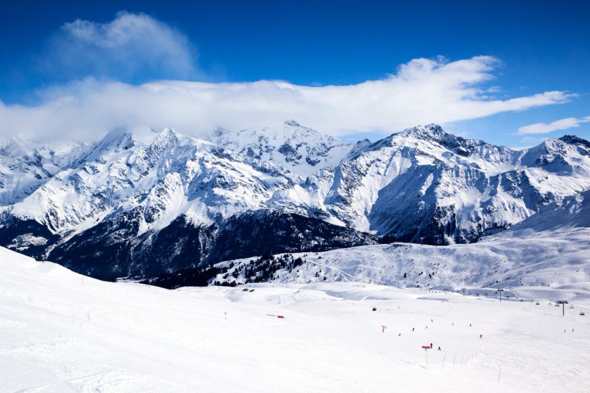
Altitude affects snow by changing both temperature and moisture. Air cools about 6–7 °C per kilometer of altitude, so mountaintops can be well below freezing even if the valley is mild. This is why high-altitude and high-latitude areas see the most snow. Moist air rising over a mountain cools and deposits that moisture – often as snow – on the windward slopes (the orographic effect). Thus, tall mountain ranges (Alps, Rockies, Himalayas, Andes) tend to have heavy snowfall, while nearby lowlands may stay warmer and drier. However, the higher you go, the drier the air can be, so a very high plateau or summit might be too dry to snow much unless moisture is advected there.
Common Misconceptions
-
“It must be below 0 °C (32 °F) to snow.” Not exactly. Snowflakes grow aloft in freezing air, but the surface can be slightly above 0 °C and still see snow. In fact, if air is just a degree or two above freezing, dry conditions and evaporative cooling can let snowflakes survive to the ground. The critical factor is often the wet-bulb temperature (the temperature after evaporative cooling). NOAA notes that shallow warm layers (up to about +1 °C) or a low wet-bulb zero height can still yield wet snow.
-
“It can’t snow if it’s too cold.” Also false. Even extremely cold air (say –30 °C/–22 °F) can produce light snow if there’s moisture. But in practice, the coldest air holds very little water, so heavy snow in polar conditions is uncommon. Counterintuitively, most heavy snowfalls happen with near-freezing air (around –5 °C to –10 °C or 23–14 °F) because warmer subzero air carries more moisture.
-
“Snow is just frozen rain.” No. Snow forms by direct deposition of vapor into ice crystals in cold clouds, not by freezing of raindrops. (Freezing rain and sleet are different processes.) A snowflake is an aggregate of ice crystals grown from water vapor.
-
“If the ground is above freezing, snow will melt immediately.” Not always. Light snow or flurries can reach a 0–2 °C (32–36 °F) surface if the snow briefly cools the air around it. Indeed, observers note that when snow starts, the air temperature can fall a few degrees because of evaporation.
Real-World Examples and Statistics
Snow covers a huge area of the Earth. In winter, about 44–46 million km² of the Northern Hemisphere is snow-covered. Nearly every U.S. state has seen snow; even parts of Florida have recorded snow flurries. In contrast, Antarctica’s Dry Valleys get almost no snow despite being extremely cold, illustrating that cold alone is not enough. Heavy snowfall often comes from moisture-laden air near freezing: for example, Great Lakes “lake effect” snows and East Coast nor’easters frequently dump feet of snow when air temperatures are just below 0 °C (32 °F) rather than at extreme subzero levels. High mountains (even near the tropics) can stay snow-capped year-round because of cold altitude. These examples show that temperature, moisture, and vertical profiles together determine when and where snow falls.